• home
  • adventure blog
  • portfolio 2.0
  • instagram
  • about
  • contact
Menu

Ben Tackett Photos

see the world the way i do
  • home
  • adventure blog
  • portfolio 2.0
  • instagram
  • about
  • contact
×

DISCLAIMER: All locations shown on here should be visited with supervision from a responsible adult

FEATURED POSTS

Featured
Nov 21, 2020
Kilgore Falls
Nov 21, 2020
Nov 21, 2020
Oct 21, 2020
Conowingo Fisherman's Park
Oct 21, 2020
Oct 21, 2020
Sep 21, 2020
Brooksbrae Brick Factory
Sep 21, 2020
Sep 21, 2020
Aug 21, 2020
Henry Avenue Bridge
Aug 21, 2020
Aug 21, 2020
Feb 7, 2020
Jack A. Markell Trail
Feb 7, 2020
Feb 7, 2020
Jan 7, 2020
Gilpin's Falls
Jan 7, 2020
Jan 7, 2020
Dec 30, 2019
Concrete City
Dec 30, 2019
Dec 30, 2019
View fullsize Middle Run Valley Natural Area Entrance
View fullsize Middle Run
View fullsize Bridge over a Creek
View fullsize Mossy boulders and stream
View fullsize Mountain Bike Trail
View fullsize Clearing before a bridge
View fullsize Fog rising over PCBB
View fullsize Middle Run

Middle Run Valley Natural Area

Benjamin Tackett May 21, 2020

If you haven’t been out to the trails at Middle Run Valley Natural Area, I have one question for you, what are you waiting for? It has everything that a outdoorsy person could want, 15 miles of hiking trails, a beautiful creek, over 170 different species of birds and other forest critters, and most importantly, it is free to visit year-round.


Middle Run Valley Natural Area, sometimes called the MRVNA, is known for mountain biking and the wide variety of birds in the area thanks to Tri-State Bird Rescue which is in Middle Run. The Valley is one of the best places to hike or ride bikes in Northern Delaware because of the hilly and bumpy terrain. It has the feel of an Appalachian Trail section from Pennsylvania, except it doesn’t require me to drive 3 hours.

Scattered throughout the trails are obstacles for mountain bikers to test their skills. These obstacles range from logs cut in half to be bumps to switchbacks and sharp downhill turns to stream crossings. As I don’t mountain bike, I don’t personally know how satisfying it is to ride these trails. However, every time I hike here, regardless of it being a nice sunny day or it being an overcast rainy day, I pass people who are riding these trails.

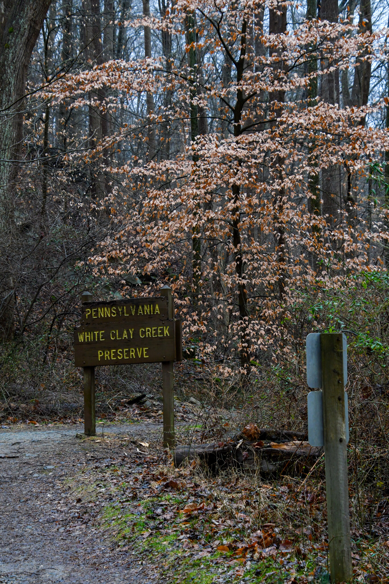
Considering the MRVNA is located between several parks, 2 of which are portions of White Clay Creek State Park, there are several ways to access the trails in here. You can access the main parking lot by taking the gravel road near the end of Possum Hollow road. You can also park at the Pike Creek Bible Church as they have an entrance located on the side of their parking lot. Hiking or biking down from Paper Mill Park in the north is also an option, so is walking the connector trail from Judge Morris Estate, there is a state park fee attached to that one though.

When I come here, I like to park at the main lot and do a specific loop. This path will take you through some of the best things that MRVNA has to offer and is home to a handful of surprisingly scenic views. Whenever you come across a bridge in Middle Run, take time to stop and watch the creek. Watch as the leaves fall into the water and float past. Watch as the water carves a path through the rocks. Don’t forget to listen to the birds singing their favorite song. This area is special, and this path will show you that.

Out of all the places I have written about so far, this is the best location to bring kids. They might not enjoy the hiking and the walking up hills, but they will enjoy the streams and small wildlife. While the hills might make this place challenging, they also make it fun and give the MRVNA a good amount of variety that other areas in Delaware lack. I fully recommend this place to anyone and everyone. It is just that good.

In Delaware, Photography, Trail Tags Adventure, Day Trip, Outdoors, Wildlife, Water, White Clay Creek, Newark
View fullsize Graffiti Highway
View fullsize Highway Sign
View fullsize Crack in the Highway
View fullsize Guardrail and Tree
View fullsize Painted Side Trail

Graffiti Highway

Benjamin Tackett April 21, 2020

This is going to be a different one than usual. The Graffiti Highway is no more. As of writing this, the private owner of the road has started the process of covering up the road with dirt to prevent people from visiting the site. You can no longer visit this place, but I wanted to cover it because of what it meant to a lot of people.


Centralia, Pennsylvania was once a bustling coal town with upwards of 2,500 people. Now only 7 people call this place home. You see, back in the 60s a massive fire started in the coal mines and it still burns to this day. This fire has created sinkholes and giant cracks in the ground and roads. Perhaps the most famous of those roads is the Graffiti Highway, an abandoned stretch of Pennsylvania Route 61 that has become a canvas for artists of all sorts.

I had the pleasure of visiting the Graffiti Highway back in December of 2019. I was on a road trip with my good friend Ukiah and it was actually his idea to go through here. We got lucky showing up in mid-December as there was no snow and warm weather. The Highway was really spectacular. There were paintings ranging from simple names and dates to complex thoughts and high-detail sprays. Everything that could possibly be tagged, was. Not a single spot on the road was the original asphalt anymore. It was coated in several layers of paint.

Nowadays the town is only about 10 buildings and a cemetery, it also has a lot of new forest growth and dirt roads and trails for off-roading. You’ll still be able to explore those trails and see the trees and rocks that have been painted but you won’t be able to see any of the highway. Centralia is still a cool place to see what once was and is an important part of Pennsylvania history.

If you want to see a really good in-depth break down of the town as well as some shots from the road, check out this video by Bright Sun Films, Abandoned-Centralia.

In Pennsylvania, Photography, Trail Tags Exploration, Adventure, Abandoned, Ruins, Winter, Centralia
View fullsize Rockford Tower
View fullsize Tree grounded in the boulders
View fullsize Brandywine Falls
View fullsize Boulder
View fullsize USGS shack

Rockford Park

Benjamin Tackett April 7, 2020

Hey everybody! I know I missed a post last month, but it was for a good reason! I was moving on the 21st of March and so I figured it would be better to move this post to the 7th of April. I have some good stuff coming for the 21st of April and the 7th of May. Thankfully I have a large enough collection of photos so I don’t have to violate the stay at home order.

Rockford Park has everything you could possibly need in a park. It has baseball fields, tennis courts, open green space to play in, hiking trails, and even a dog park. It is also home to the Rockford Tower, a 75-foot-tall water tower with an observation deck on the top. The best features, however, are the boulders and small cliffs that lead you down to the Brandywine River.


This park is one of the oldest parks in the city of Wilmington. In 1889, William Poole Bancroft donated 59 acres of land to form the park and he convinced the du Pont family to donate another 9 acres. In 1901, the Rockford Tower was constructed to serve as a water tower and observation deck to look out over Wilmington and the Brandywine River.

From the parking lot of the Tower down to the banks of the Brandywine, is a 100-foot change in elevation. It flattens out for a bit around 15 feet off the river, but then it drops sharply one more time to get you down to the bottom. While you don’t have to scale the boulders and small cliffs to access the Brandywine River, I certainly recommend it, solely because of how much more fun it is. If you park at the top by the tower you can climb over the foot high stone wall and from there you go down the boulders. There is no set path down, just climb! The other way down is a path that connects to the intersection of Rising Sun Lane and Main Street.

Do not wear normal sneakers or tennis shoes and especially do not wear flip flops or other open toe shoes. The rocks and leaves here can be slippery and sharp. Boots are really the only type of shoe that you should be wearing here. This is a good place to practice social distancing, so get out and go explore!

In Delaware, Photography, Trail, State Park, Wilmington Tags Day Trip, Adventure, Water, Brandywine, Wilmington, Outdoors, du Pont, DuPont
View fullsize Quaker Ruins
View fullsize Parking Lot Sign
View fullsize Deer in a Nearby Horse Stable
View fullsize Stone Wall
View fullsize Beaver Creek
View fullsize Retaining Wall with Creek

Beaver Valley

Benjamin Tackett March 7, 2020

Hidden away on the state line between Pennsylvania and Delaware, lies a spectacular park called Beaver Valley. Owned by the National Park Service, it has 1,100 acres of pastures, fields, forested hills and stream valleys. That’s simply too much land to cover so today, we will be talking about the section known as the Woodlawn Short Loop.

The Woodlawn Short Loop is home to many cool things. It has a stream running through it that provides juxtaposition to the forest around it. That stream starts out small and simple on the east end and becomes a series of rapids and waterfalls on the west end. At around the 12 O’clock section of the trail sits some English Quaker ruins that are from the 19th century.


This section sits just north of Brandywine Creek State Park in the area right behind Hy-Point Dairy Farms. The easiest parking lot to access the Quaker ruins and waterfalls is on Beaver Valley Road across the road from Cloverleaf Stables. There will be a National Park Service sign to let you know exactly where but the sign is on the wrong side of the road.

This is not the hardest area to hike. I’d say the only difficult thing about hiking here is the fact that none of the creek crossings have bridges. You have to either rock hop or get your feet wet. The streams are only about 6 inches to a foot deep, so it is nothing crazy. With the high number of stables and farms in the region, you do have to watch out for horses and horse excrement. You should also keep your eye out for cyclists and other hikers as well.

Beaver Valley was recommended to me about 2 weeks ago and although I have only been a handful of times, I really want to go back. From the moment I set foot on the trail, I knew this area was unlike any place in Delaware that I had been to before. There is a feeling to this place that cannot be named. The best description of that feeling is a sense of discovery, like there’s something to find around each bend and valley.

For more information on Woodlawn Short Loop, check out the AllTrails page. For more information on Beaver Valley, here is the National Park Service’s website.

In Delaware, Pennsylvania, Photography, Trail Tags Water, Winter, Brandywine, Ruins, Exploration, Adventure
View fullsize Full shot of Snake Island
View fullsize Looking Downstream from Snake Island
View fullsize Northern Water Snake
View fullsize Chambers Rock Parking Lot
View fullsize White Clay Creek Preserve Sign
View fullsize Long Exposure of Snake Island

Snake Island

Benjamin Tackett February 21, 2020

Follow the White Clay Creek upstream into Pennsylvania on the Nature Preserve Trail and you will come across Snake Island. The remains of an old railroad bridge have created an island in the middle of the creek that is typically inhabited with snakes. Don’t worry, they aren’t venomous, and the remains of the bridge are still a cool area to explore without visiting the center island. 

Ophidiophobia, the fear of snakes, is one of the most common phobias in the world. When you consider how dangerous snakes can be, you’d be crazy not to fear them. Thankfully, in Delaware we don’t have many dangerous snakes, and the ones here at Snake Island are no different. Northern water snakes are the snakes that call this island home. They are non-venomous and quite passive, however, they can still bite you so be careful around them. 


I discovered Snake Island with some friends back in 2017. The goal for the trip was to find out if there was anything cool on that trail. Turns out, there was. We took some time to explore the entire Island and somehow didn’t notice any of the dozen snakes slithering around until we had been there for a couple minutes. It was a little scary but after learning what types of snakes they were, the area felt like a home and I was just a guest being invited in. I have been back here several times to take photos of the snakes and watch them from a distance. Seeing how they live in peace and harmony with their colony is a wonderful experience. 

It is not very difficult to get here until the final 15 feet or so. Park at the Chambers Rock Parking lot in White Clay Creek State Park and hike north for about a ½ mile. Be aware that since this is a State Park, there is a $4 daily pass fee for in-state vehicles and an $8 out-of-state vehicle fee. The path is well worn and flat so the only issues you will come across are going to be mud and mosquitoes. Don’t be alarmed when you cross into Pennsylvania, you will only be in PA for about 50 feet. You’ll know that you’re here when you hear the rushing water and see the old bridge supports crossing the creek. This is where the final 15 feet is, you then have to go down a steep but short embankment and rock hop some small boulders. After you do that, you’ll be looking out at Snake Island. If you want to see a nice video showing the area, I found this one on YouTube. That middle area with the supports is Snake Island.

Having been here in almost every month, there is no real best time to go for an overall experience, rather there are better times to go for specific things. If your aim is to see snakes, then you should try and go from April to June. That is the time when the northern water snakes are most active, it is also the time when they breed so be extra careful. The wintertime is the most peaceful time to go. Go just after a rainstorm or when it snows, the entire area will have a pristine glow to it that it doesn’t get any other time of year. 

I cannot recommend taking young children or pets here. However, a responsible and careful adult should have no problem maneuvering the island and trail easily. Please remember to keep our parks clean and to not disturb the wildlife in the parks. These snakes are for viewing and not playing. Here is a map of White Clay Creek State Park. Also, here is a link to the Delaware State Park website, you can find more info on White Clay, as well as other state parks in the area. 

In Pennsylvania, Delaware, Photography, Trail Tags White Clay Creek, Water, Ruins, Snakes, Wildlife
View fullsize Pedestrian Bridge Spanning the Christina River
View fullsize One End of the Boardwalk
View fullsize Wilmington Riverfront
View fullsize Peterson Urban Wildlife Refuge
View fullsize DuPont Environmental Education Center
View fullsize Highway 13 Pedestrian Tunnel
View fullsize DSC_0336-2.jpg

Jack A. Markell Trail

Benjamin Tackett February 7, 2020

Have you hiked the Jack A. Markell Trail yet? It’s “not exactly” a new trail, however it may be new to you. The JAM, as the trail calls itself, was officially opened on September 22, 2018. So, it is pretty young as far as trails go.

Perhaps the biggest pro for the creation of the trail is that it allows pedestrians and cyclists to get from Wilmington to New Castle safely and in much less time. The Trail is 7.9 miles long from end to end and is paved most of the way to accommodate cyclists. Named after former Governor Jack A. Markell for his contributions to the Delaware cycling community. It fills a critical link of the East Coast Greenway; a system of routes that connect Maine to Florida via on and off-road paths. If you want more information, visit East Coast Greenway Alliance.


Some of you might know that if you travel around northern Delaware, you will see that the scenery changes every 10 to 15 minutes. The Jack A. Markell Trail is no different. At one end, you have the Wilmington Riverfront and the Christina River. It is a modern place that is becoming more upscale as part of its revitalization. At the other end, you have the New Castle Historic District, a glimpse into what life in 1700’s Delaware was like, and the Delaware River. Already without leaving the ends of the trail, you have 2 very different cities and 2 very different views. The trail will take you through woods, past a neighborhood and under 2 highways, then safely next to a women’s work release center and a massive social services complex. You’ll also pass through a marsh and cross over the Christina River via the Jack A. Markell Bridge which is the longest pedestrian and bicycle bridge in Delaware.

There are two important places on the trail I want to mention, the DuPont Environmental Education Center (DEEC), and the Russell W. Peterson Urban Wildlife Refuge. The DEEC is located just south of the Wilmington Riverfront on the northeast corner of the refuge and is the point where the city, river, and marsh meet. It has a visitor center, the views from the balcony on the top floor of the building are very nice, a 10-acre ornamental garden that is stunning and peaceful, and has direct parking access to the Jack A. Markell Trail. It is also free and open to the public year-round. The Peterson Urban Wildlife Refuge has some of the nicest and most serene trails I have ever been on. The entrance to the trails is halfway between the Jack A. Markell Bridge and the start of the boardwalk that takes you to the Riverfront. Here you can see a variety of wildlife, such as deer, bald eagles, otters, and herons.

Every time I go here for a walk or for business, I enjoy it. There is so much to see and take in, no matter where you are on the trail. It is perfect pretty much year-round if the weather is nice, and the wind isn’t too strong. I highly suggest going and taking a bike or skateboard and cruising through the whole trail. If that isn’t your thing, that’s fine, take a nice casual stroll and just get some fresh air and enjoy the scenery.

In Photography, Trail, Delaware Tags Water, City, Cycling, Hiking, Day Trip
← Newer

All Posts

  • November 2020
    • Nov 21, 2020 Kilgore Falls Nov 21, 2020
  • October 2020
    • Oct 21, 2020 Conowingo Fisherman's Park Oct 21, 2020
  • September 2020
    • Sep 21, 2020 Brooksbrae Brick Factory Sep 21, 2020
  • August 2020
    • Aug 21, 2020 Henry Avenue Bridge Aug 21, 2020
  • July 2020
    • Jul 21, 2020 Rittenhouse Park Jul 21, 2020
  • June 2020
    • Jun 21, 2020 The Lost Stream Jun 21, 2020
  • May 2020
    • May 21, 2020 Middle Run Valley Natural Area May 21, 2020
  • April 2020
    • Apr 21, 2020 Graffiti Highway Apr 21, 2020
    • Apr 7, 2020 Rockford Park Apr 7, 2020
  • March 2020
    • Mar 7, 2020 Beaver Valley Mar 7, 2020
  • February 2020
    • Feb 21, 2020 Snake Island Feb 21, 2020
    • Feb 7, 2020 Jack A. Markell Trail Feb 7, 2020
  • January 2020
    • Jan 7, 2020 Gilpin's Falls Jan 7, 2020
  • December 2019
    • Dec 30, 2019 Concrete City Dec 30, 2019

Subscribe

Don’t miss out on your next adventure!

Sign up to stay up to date on my latest posts.

Thank you!